Capability 3

Spatial road risk

Road geometry and network context, joined to harm. Our own methods, on open Vicmap road data.

CapabilityWhat it is
Skewed intersections34,220 Victorian intersections by approach angle, linked to crash history and heavy-vehicle networks. Public and open source. Case note →
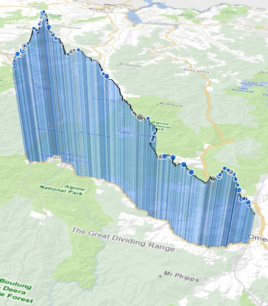
Road vertical gradeGrade (elevation profile) for every Vicmap road segment, with a 3D grade × crash viewer.
Horizontal curvature riskCurve geometry from road centrelines, scored and linked to crash history.
Movement & PlaceInference of Movement & Place classes for unclassified roads, and crash × Movement & Place joins.
Infrastructure risk ratingNetwork-wide infrastructure risk rating built from road attributes.
Near-miss vs crashWhen connected-vehicle near-miss signals add information beyond crashes and traffic volume — and when they don't.
Spatial model library99 QGIS processing models (2022–2026) for repeatable road-network analysis.
Road grade × crashes, Great Alpine Road (3D, vertical exaggeration). Basemap © State of Victoria (Vicmap).